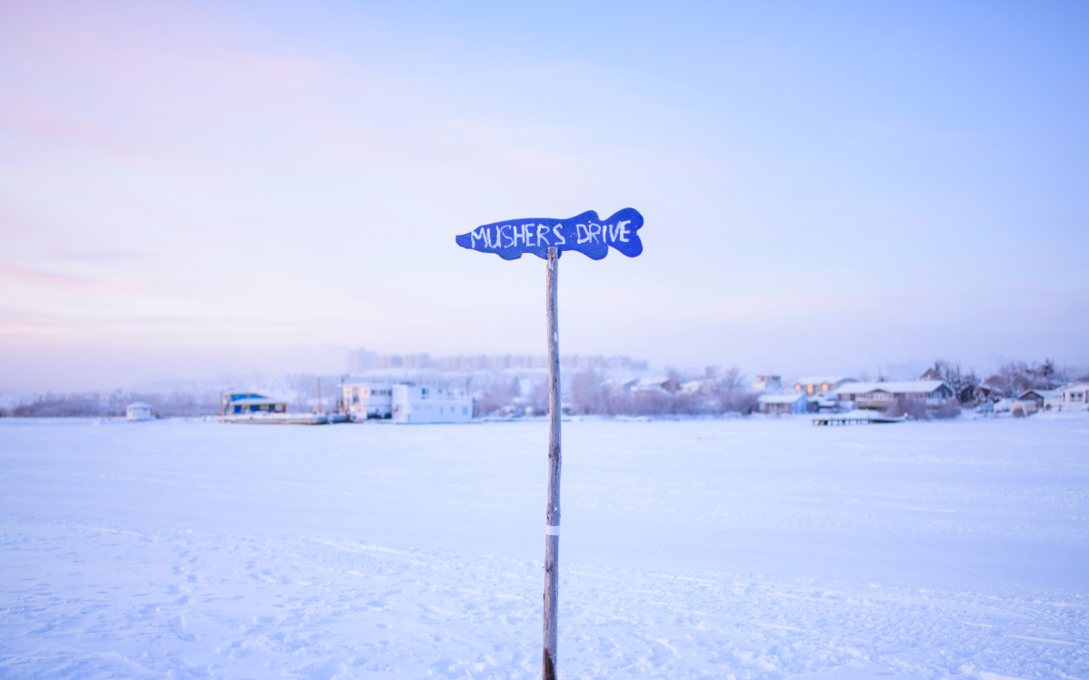
During the winter, cars, trucks and snowmobiles travel on Great Slave Lake’s Yellowknife Bay. But there are no designated roads, and, for a long time, there was no signage. That made it hard to find Sadee Mitchell’s home on Jolliffe Island. She had a solution, though. In 2019, the nine-year-old made 10 blue, fish-shaped road signs and put them up on the most travelled routes to help people navigate the lake. As part of a heritage fair project, she researched local history and came up with names such as Mushers Drive, Willy-Mac Cul de Sac and Cat Skinner’s Road. This photo is from 2020, but Mitchell, now a teenager, still puts the signs up each winter.
Arctic Moment: Which Way is Cat Skinner’s Road?
Location: Yellowknife, NWT
Photo by Pat Kane
Related Articles
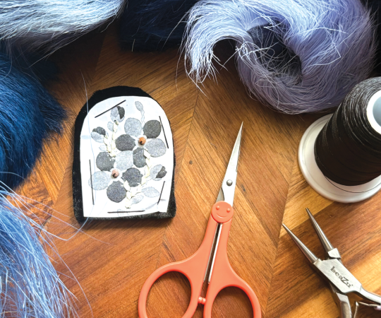
Just a Little Trim
How to tuft caribou hair

We’ve Only Just Begun
So say Inuit artists. And they’re looking for ways to show the country what they can do. Here are three ways Canada can help
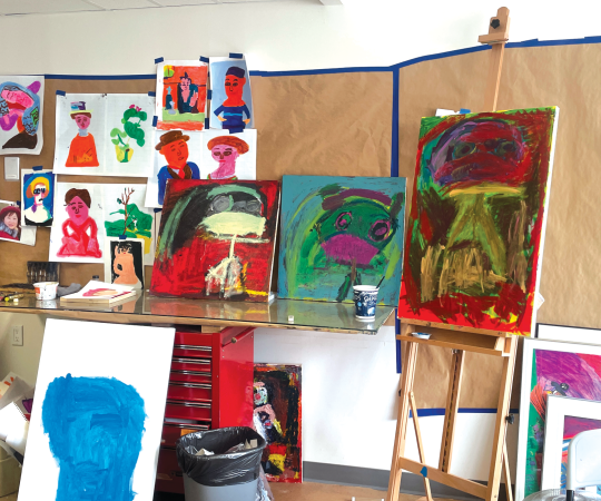
“Tapping into the Human Drive”
Yukon studio for people with developmental disabilities expands what art-making looks like
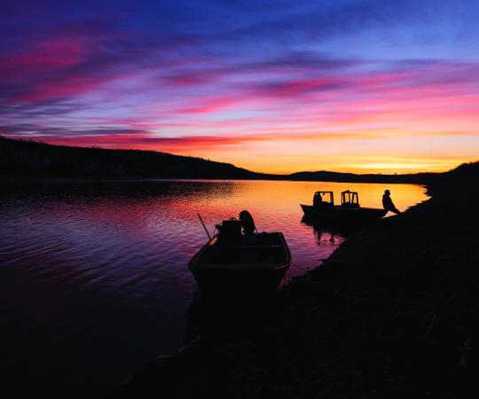
Arctic Moment: At The Confluence
Location: East of Old Crow
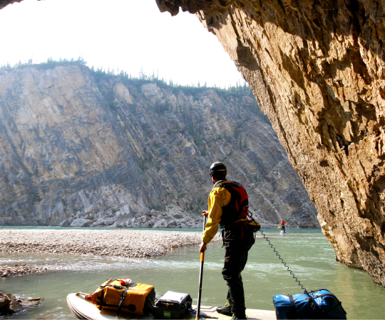
Up Here’s Guide to the Ultimate Northern Summer
Our picks for the best of the season, from kayaking to karaoke
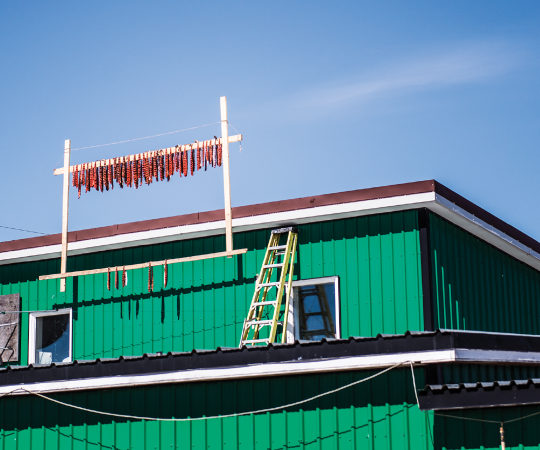
Arctic Moment: For the Birds?
Location: Iqaluit