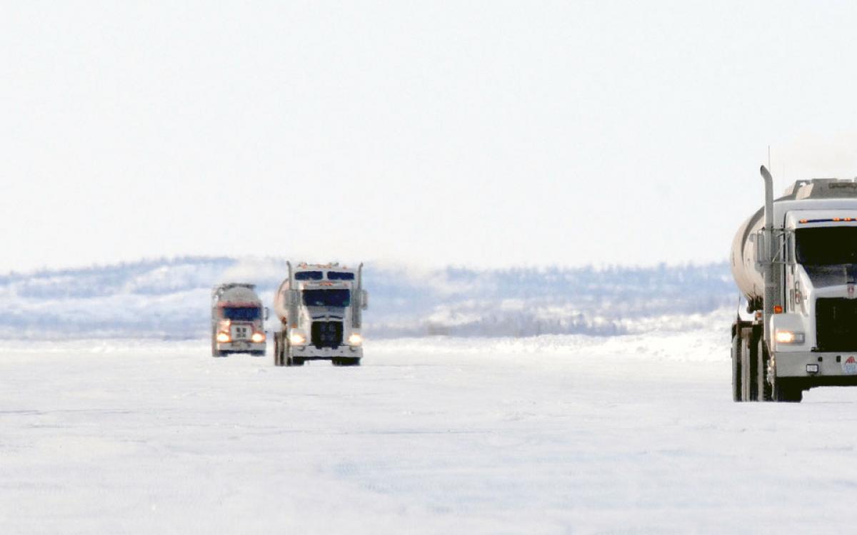
You’ll want to keep the windows up. And make sure your van-turned-camper has a block heater.
Once winter settles in, the amount of driveable road in the Northwest Territories nearly triples and 12 communities become accessible by car, as far south as Trout Lake and as far north as Tuktoyaktuk.
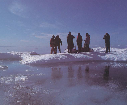
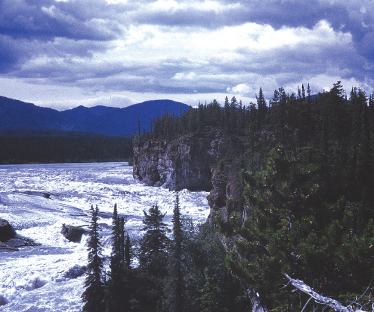
The Mackenzie River makes up more than half of the territory’s winter road map but these routes aren’t strictly on ice. The drive north from Behchokò˛ along the Tłįcho˛ winter roads roll over a series of lakes and narrow trails, through stands of bare tamarack and outcrops that pierce the snow-covered ground. A little further north, the ice road on the Mackenzie from Inuvik carries drivers over snow-filled fissures to the wide-open Arctic Ocean.
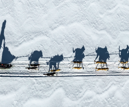
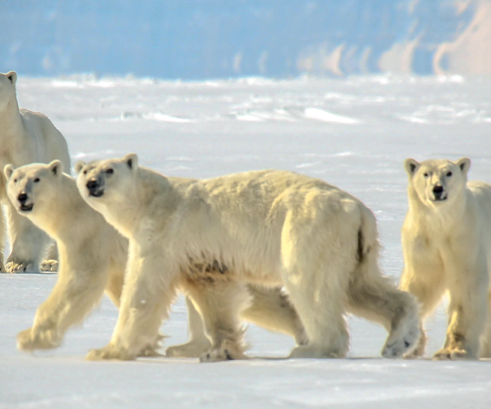
But don’t forget the emergency kit in case your vehicle can’t take the journey, and remember to dress for the weather. Pack the parka, hat, mitts, and a pair of boots that will let you trudge through the snowy shoulder to get a photo: bison, moose, wolves and Arctic fox are common, and you’re not likely to miss them—it’s a slow drive on the ice roads. But traffic’s good.

Mackenzie Delta
Kilometres of road: 275
If the all-season Inuvik-Tuk highway opens this fall, as it’s supposed to, Tuktoyaktuk will finally be accessible year-round, making this trip now or never. Driving past shored up boats, frozen into the river—er, road—is a sight in itself, but nothing compared to the moment the turquoise ice road curves into the Arctic Ocean. You may not be able to dip your toes in, but it’s worth the drive anyway.
Open: mid-December to end
of April.
Mackenzie Valley
Kilometres of road: 752
This region really opens up in the winter with ice roads reaching five communities—the bulk of which are fly-in only, most of the year. You’ll see much of the valley and Sahtu communities on the main stretch, but it’s worth veering off to Déli˛ne˛ and Great Bear Lake to experience a resilient culture that’s just begun its journey to self-government.
Open: late-December to late-March.
Tłįcho˛
Kilometres of road: 461
Tree-lined and on the water, this road system connects three otherwise air-accessible communities. The network of winter roads starts off from Highway 3 near Behchokò˛ and then straight up the North Arm of Great Slave Lake. It’s not long on the water though before the roads jump back on land, heading through stands of tamarack and probably a herd or two of bison.
OPEN: Roads gradually open starting in late-January until mid-April.
Dettah
Kilometres of road: 6.5
The route cuts the commute between Yellowknife and Dettah to a quarter and some unoffical roads veer off so you can cruise among the houseboats of Yellowknife Bay.
Open: mid-December to mid-April.
Trout Lake
Kilometres of road: 126 km
Mostly over land, the last stretch of the winter road plows across the community’s former namesake, Trout Lake. After a vote this year, it now goes by Sambaa K’e—Slavey for ‘place of trout.’ Remember to pack your ice-fishing gear.
Open: late-December to late-March.