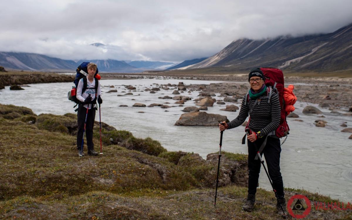
Brian, his son Layton, and I stood in the howling wind with wet feet, and grinned like maniacs for the selfie we took on August 23, 2022. We had stopped at the inukshuk that marks the Arctic Circle where we were hiking in Auyuittuq National Park on Baffin Island.
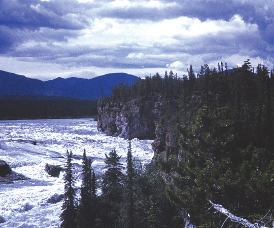
It’s a good selfie – we look relaxed, goofing off for the camera. But a few minutes later we were again bending into the wind, hiking straight into waves of rain from the storms being pushed up the valley. ‘Keep moving to stay warm’ was the mantra. Every now and then the clouds would shred and dissipate, and random rays of sunlight would illuminate parts of the landscape. We stopped to stare at beautiful jagged peaks glaring down on us and the glaciers snaking down between the peaks. Akshayuk Pass is home to the tallest vertical rock faces on the planet, and we were surrounded by them. Wild waterfalls cascaded into broad icy streams from the glaciers to join the mighty Weasel River, on our route south to Pangnirtung Fjord.
The trip was an adventure on so many levels – from the planning and logistics to the actual hiking and execution. Of course, there are wilder and more challenging adventures on this planet, and of course, there are tougher and more accomplished adventurers. But hey – as two 60-year-olds and a 14-year-old we did the 100km hike in 8 days and saw some of the most amazing mountains to be found anywhere, in one of the most isolated and wild places left on the planet. Words that we usually use to describe mountains – like majestic and towering - don’t even start to give a sense of the sheer magnitude and power of the landscapes we experienced. Baffin Island is unique in its rugged isolation, and Akshayuk Pass is unique in combining relative accessibility with rugged adventure.
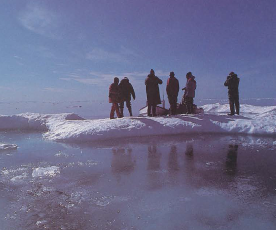
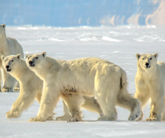
When I say relatively accessible, I mean – it’s a bit of a challenge. We chose to hike the entire pass – from north to south. That’s the recommended direction because it keeps you from lingering by the fjord where polar bears are known to visit. To get to the northern trailhead we flew from Castlegar BC to Vancouver, from Vancouver to Ottawa to Iqaluit, and from Iqaluit to Qikiqtarjuaq. Well, that part was relatively easy, but it is wise to build in a few extra days, as flight delays are common due to weather. In Qikiqtarjuaq, a village of just under 600, we were to meet Billy Arnaquq, who would take us to the start of the trail, three hours by boat, at the far end of the North Pangnirtung Fjord. We didn’t really have a clear meet set up, but Billy found us easily – three backpackers stood out in this tiny town.
Billy was driving by in his pickup a couple of hours after our flight landed. We headed to the Parks Canada office for our orientation but were redirected to the breakwater – there were two bowhead whales in the bay – everyone was out whale watching. And truly, everyone was. Kids were jumping on the rocks as the tide rolled in. Adults were camped out higher on the rocks with picnics. Teens were hanging out in a gaggle, too cool to be excited by the whales, but too excited to contain their enthusiasm. Dogs cavorted among the people, and the whales frolicked in the bay. At least I think they were frolicking – there were two bowheads and several orcas out that day – maybe there was something more sinister going on.
At the orientation, we learned about safety, polar bears, and expectations and hazards of the hike. The main thread through the talk was self-sufficiency. The trail is remote and isolated.
There are emergency shelters every 20 km or so throughout the pass. These are meant for shelter from extreme weather or polar bears. There are two-way radios in each shelter that provide daily weather reports and give you the opportunity to call for help if needed. The nearest helicopter rescue crew is often in Jasper, Alberta. We had an InReach, but any other satellite-based emergency system is a good idea. At major river crossings there are emergency supply barrels – in case your gear gets swept away – tarps, stove, food, fuel. Thankfully, they are not often needed.
The next morning, on Billy’s boat, we travelled up the fjord, past massive icebergs, to the trailhead. Well, actually, there is no trail on the northern end of the hike. Billy had us jump off the bow of his boat onto some rocks and waved goodbye. And suddenly we were alone.
From there, the directions were pretty simple. The valley stretches about 100 km from the Davis Strait to Cumberland Sound. It would be hard to get lost. Your compass won’t be much help. GPS is nice because you can monitor your progress. But basically, if you’re going up a mountain, you’ve made a navigation mistake. If you spend the first two days in a bog jumping from tussock to tussock, following the Owl River upstream – you’re on the right track.

The landscape is beautiful. We were there in mid-August. Stunted shrubs huddled close to the ground, slopes were covered in blueberries growing an inch or two from the ground, and flocks of geese, eating the blueberries, spent time in lower parts of the valley. Without trees, there’s nothing to stop the wind – which can reach up to 170 km/hr in the valley and over the pass. Parks Canada advises a sturdy tent – good idea.
At the head of the Owl River is the moraine from Highway and Norman Glaciers – and the first real challenge of the hike. Still no trail – you make your way up the moraine clambering, bouldering, crawling, singing, swearing, whatever. The goal is apparent – there’s only one direction – to the pass. At this point you can see the famous mountains named after Norse mythology – the flat-topped monolithic Mount Asgard (famous in part from a scene in The Spy Who Loved Me where 007 skis off the flat top and parachutes down into the valley after ejecting his skis), the spike of Mount Thor – 1250 meters of vertical rise with a 15 degree overhang – a giant canine incisor-shaped slab of dark rock, and the jagged enormity of Mount Odin – facing Thor from across the valley.
With the climb into the pass, the other real challenge of the trip begins – river crossings. Most of the incidents, injuries and fatalities on the hike have historically been associated with river crossings. We did those early in the mornings, before 6am – when the river levels were the lowest. Still, there were challenges – our wildest crossing was at Half-hour creek – where the numbingly frigid water was mid-thigh for me, and knee level for my tall companions. I thank the hiking gods for two strong poles (an indispensable piece of equipment for this hike) and tall strong hiking buddies who yanked me out of an eddy when my knees couldn’t bend against the strength of the current raging down from the glacier.
The pass was a sensory overload. Glacial bright green opaque water juxtaposed with dark blue pools, the steepest, sharpest, darkest rock faces on the planet crowding over us in the narrowed valley, howling wind and falling rocks interspersed with sunny silence and moments of glorious overwhelming vistas. Huddled in our sleeping bags at night in the tent we talked about how lucky we were to be there, see that, experience this.
The descent into the southern end of the valley was a treat. Suddenly, for the most part, there was a trail. Bogs and moonscape gave way to blueberry shrub and arctic cotton shrouded slopes as the valley widens. River crossings got easier as the Weasel River broadened and braided. Arctic poppies started cropping up among the lichen and grass. Finally, we walked the last few kilometers on a tidal flat to the “pole”, at Overlord North, where Peter Kilabuk, from Pangnirtung, was scheduled to meet us on August 25 at 5pm-ish.
Peter showed up on schedule with his boat. We jumped off the rocks onto the bow of his boat with much lighter packs than when we had jumped off of Billy’s boat 100 km north. Peter’s wife, Rosie, fed us cookies and hot chocolate. Suddenly, we were back in the world of other people. We had internet and non-dehydrated food, and a shower. And we already missed those dark massive rock faces and wild frigid cascading rivers and the eloquent stillness of the tundra.
Would it have been easier to use an outfitter? Yes, but we are a stubborn and independent bunch.
Would I take longer to do the hike? Maybe, if the weather were cooperative – it would be fun to hike up to the glaciers.
When would be the best time to go? I think a bit earlier than we did – there’s a window late July-early August that’s probably best, but weather in the arctic is unpredictable.
Would I do it again? We fantasized about coming back to ski tour. The boys had already picked out some lines on the glaciers they wanted to ski, and Peter said he could get us there in April by sled to set up a base camp.